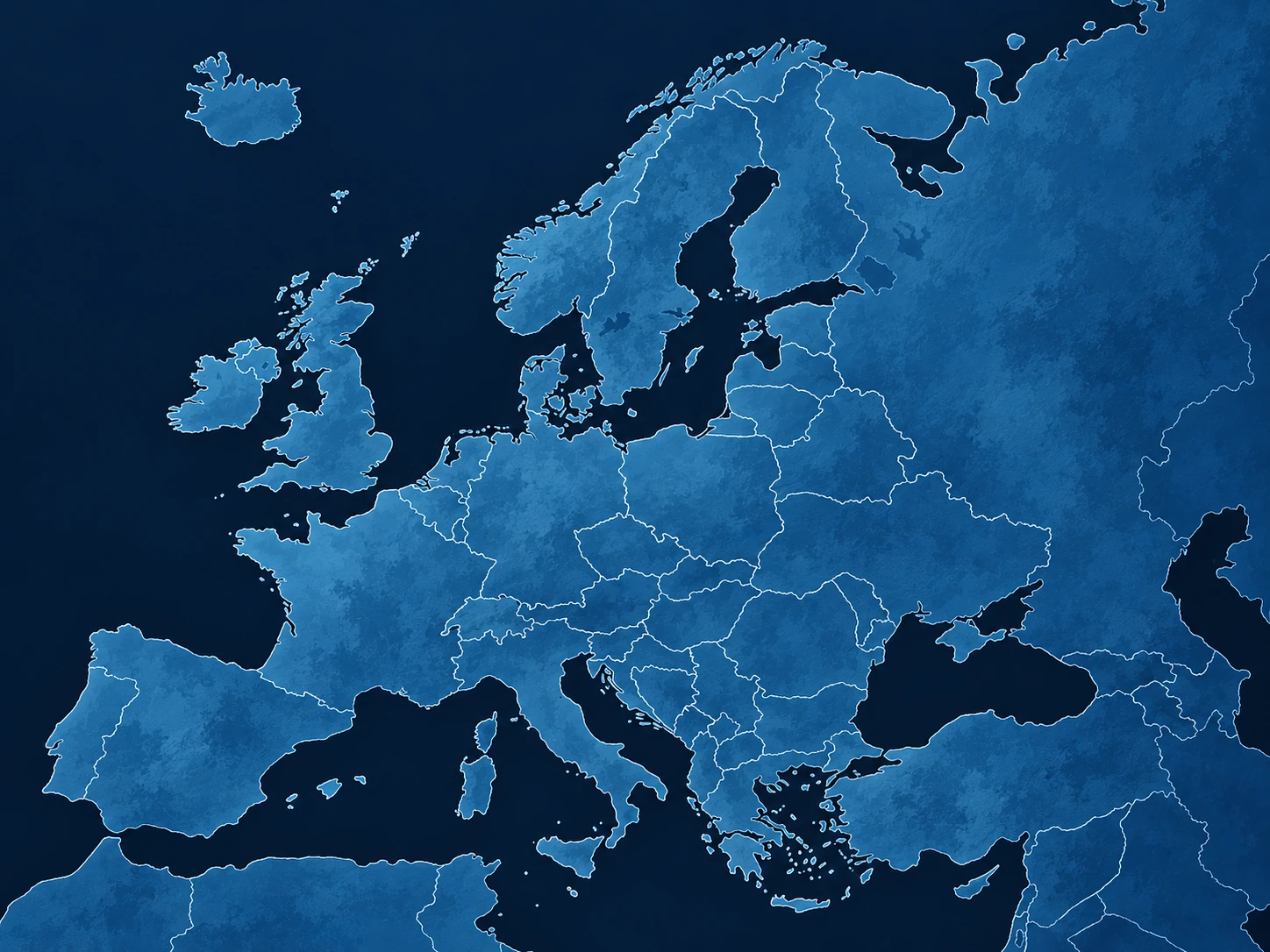
Select a region for a detailed fixed map · no zoom or pan
⌖
Quick regionsOpen a detailed map for your region
Country maps have 2048px EPSG:3857 coordinates and aligned land masks. METAR TEST locations derive from georeferenced station directories, but demo WEATHER VALUES are fictional. Regional maps still need calibration. No live weather API is connected.
Build 06 HF8 integrates individually georeferenced 2048px country views and retains the approved Europe and regional maps unchanged. METAR station LOCATION test metadata comes from the supplied georeferenced packages. Temperatures and other weather fields remain entirely fictional demonstrations; no live readings are provided. © EuroGeographics / European Commission Eurostat-GISCO administrative boundary data, as attributed in the supplied geographic files. Non-commercial weather viewer.
Next step: validate the geographic land views in the browser, calibrate the preserved regional maps, then connect the separate European API. Front curves and ICON snow fields must be computed server-side.